Welcome to Bo-Ra-tec GmbH

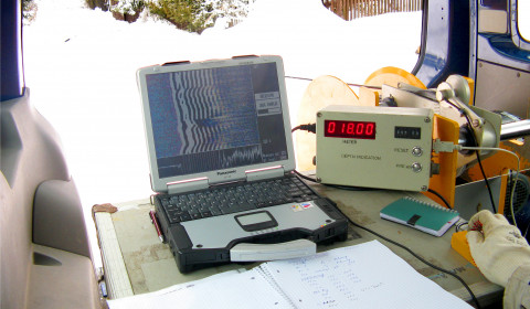
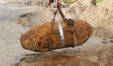
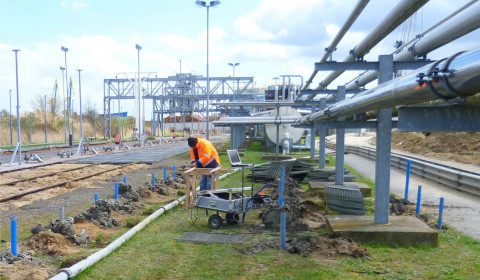
We are your certified partner for all tasks involving engineering geophysics and applied geophysical surveys. Our proficiency in nondestructive geophysical technologies will provide you with a solution to your investigation goal through a combined and optimized application of suitable surveying methods from the surface or from boreholes. We offer consulting, planning and conducting geophysical surveys as well as the geological and geotechnical interpretation of the recorded data.

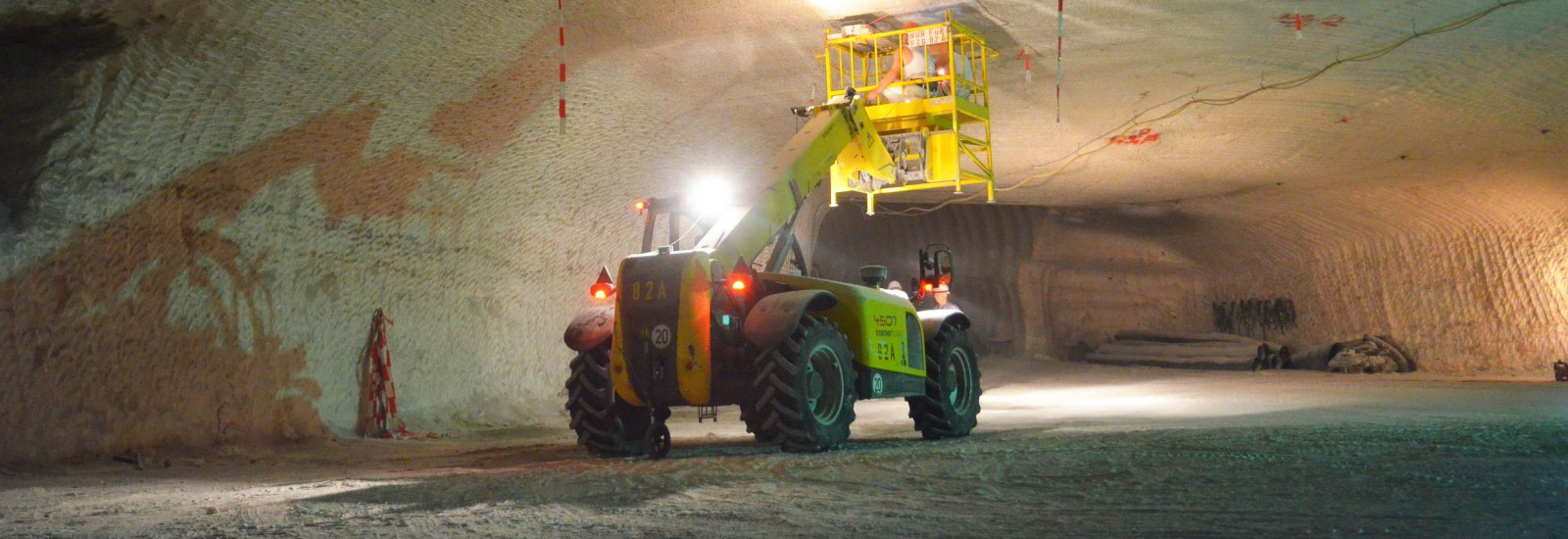
The company Bo-Ra-tec was founded in 2000 by Dr. Thomas Richter in Sondershausen. After moving our seat to Weimar – located right in the center of Germany – we have continuously expanded our field of applications and grown further into a dynamic team of geophysicists and surveying technicians, backed by over 20 years of experience. Beside our tasks in construction, mining and other fields we are cooperating closely with partners from science and industry within national and international research projects to further develop new or optimize existing geophysical technologies and specialized equipment. Through selected publications and conference contributions we regularly present the results of those projects and research works that reflect groundbreaking successes of nondestructive geophysical surveying technologies. The selected application examples presented on these pages are only a fraction of the whole possible spectrum. Each task is individual – so our job is to apply our know-how to your surveying goal in order to solve your problem. Contact us!

Fields of application

  • Engineering

    We support the investigation of your building ground with geophysical measurements and deliver important information for the foundation and planning of buildings. We detect karstified or loose rock areas, artificial or natural cavities or any other kind of inhomogeneity in the building ground or also in existing building material.

    more
  • Tunneling

    When tunnels are built in difficult geological settings our measurements can provide important information for the safe excavation and subsequent operation. We conduct geophysical surveys from the surface or parallel to the excavation from boreholes to deliver a high resolution image of the building ground.

    more
  • Unexploded Ordnance

    Together with our partner Heinrich Hirdes Kampfmittelräumung GmbH we have successfully established borehole radar measurements for the detection of unexploded ordnance. We are specialized in the localization of heavy caliber bombs particularly beneath developed and sealed areas, railroad tracks, streets and other unaccessible areas.

    more
  • Mining

    We investigate the geological and geotechnical settings in open-cast and sub-surface mines and provide important information for the optimized planning of production and for the safety of the site.

    more
  • Recording unit with depth counter and cable winch for a borehole radar survey
  • Recovery of a World War II bomb that was detected by a borehole radar survey
  • Borehole radar measurement for the detection of unexploded ordnance in Wismar

Technologies

  • Borehole Radar

    We own a wide range of specialized radar antennas of different frequencies that were developed for common borehole calibers. These antennas can be used to investigate the sediment/rock surrounding one or several boreholes with electromagnetic waves and help locate and characterize inhomogeneities like anomalous bodies, cavities, geologic and tectonic structures, etc. Depth ranges of several hundred meters can thus be investigated by vertical, horizontal or angled boreholes from the surface.

    more
  • Ground Penetrating Radar

    Ground Penetrating Radar can be applied for the spatial investigation of the underground by using electromagnetic waves from the surface. Building structures, cavities, layer boundaries or other natural or anthropogenic inhomogeneities can be located fast and efficiently with this method.

    more
  • Geoelectrics

    Both the horizontal and vertical layering and electrical properties of the subsurface can be investigated in detail by feeding an electric current into the ground and measuring its resistivity. Indications of cavities, structural weaknesses or other inhomogeneities facilitate the assessment of the building ground or e.g. existing flood protection dykes.

    more
  • Gravimetry

    The accurate measurement of the earth‘s gravity force with a high sensitivity gravity meter can help detect karst zones, cavities or other inhomogeneities of the mass/density distribution in the subsurface.

    more
  • Borehole Seismics

    The layering of the subsurface and potential inhomogeneities can be investigated through the creation of seismic waves and their registration via geophones in variable distances to the seismic source. Both source or geophones can be placed in boreholes for that purpose.

    more
  • Seismics

    The layering and properties of the subsurface can be investigated through the creation seismic waves on the surface and the analysis of their travel times and amplitudes recorded by geophones.

    more
  • Sonar

    Sonar uses the creation, propagation and recording of elastic waves in any kind of medium and is thus suitable for the detection of small scale inhomogeneities like fissures/fractures. Using specialied sensor technology we are able to investigate the material of existing buildings.

    more