Mining
We investigate the geological and geotechnical settings in open-cast and sub-surface mines and provide important information for the optimized planning of production and for the safety of the site.
Above Ground
-
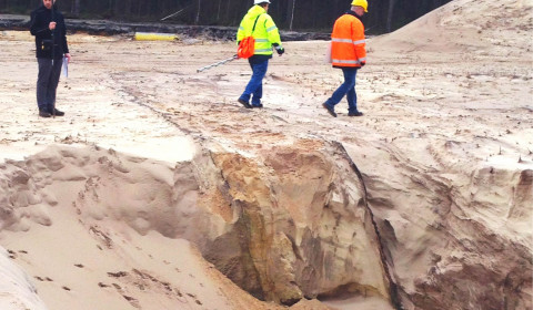
Detection of faults in a sandstone quarry for the prediction of slope slides -
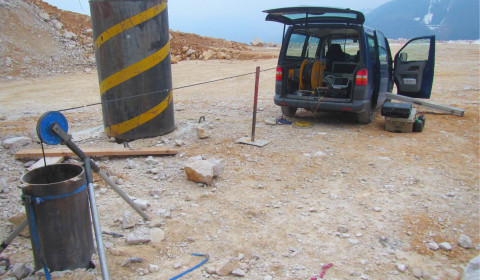
Borehole radar survey for the detection of a congested production shaft in a limestone quarry
- investigation of the geological-geotechnical situation
- detection of layer boundaries and thickness of deposits
- detection of endangering natural or anthropogenic cavities
- detection of inhomogeneities
- detection of water pathways and dissolution areas
- measurement from the surface of from vertical or horoizontal boreholes
References
- 2017 – 2019: Detection of a congestion in a production shaft of a limestone quarry in Steyrling, Austria using borehole radar
- 2013 – 2015: Investigation of land and slope slides in a quartz sandstone quarry in Haltern using ground penetrating radar and borehole radar
Underground
-
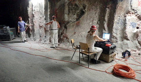
Borehole radar measurements along the wall of the salt mine Asse (© BGE Schachtanlage Asse II) -
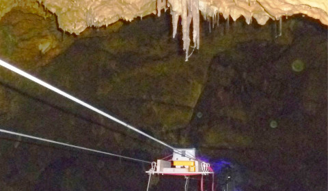
GPR measurement for the detection and monitoring of fractures leading to a roof detachment inside a dripstone cave -
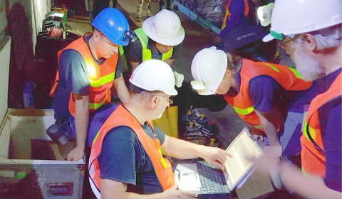
Analysis of the preliminary results of a cavity investigation in a potash mine in Thailand
- investigation of the geological-geotechnical situation
- detection of layer boundaries and thickness of deposits
- detection of endangering natural or anthropogenic cavities
- detection of inhomogeneities
- detection of water pathways and dissolution areas
- detection and monitoring of fractures/faults, detachments of roof or walls of drives, shafts and chambers for the assessment of the mine stability
- measurement from the surface of from vertical or horoizontal boreholes
References
- since 2011: Consulting for the planning, assessment and site monitoring for the recovery of radioactive waste from the Asse mine, using borehole and ground penetrating radar
- 2018: Localization of cavities and water pathways inside a potash mine in Thailand using GPR, seismics and gravimetry
- 2010 – 2016: Investigation of the deposit thickness in the salt mines Stetten and Heilbronn using GPR
- 2013: Investigation of the deposit thickness and mine stability of a sylvenite mine in Brasil using GPR and seismics
