Dyke investigation Fessenheim
Investigation of the dyke and dyke foundation south of the nuclear power plant Fessenheim using 2D electric resistivity tomography
The general concept of flood protection measures along the Rhine river and nuclear safety policies of the nuclear power plant Fessenheim demanded a complex geotechnical and geophysical investigation of the dyke and building ground along the left riverbank of the lateral canal of the Rhine river south of the power plant.
The dyke top lies 8 m above the level of the nuclear power plant and thus presents a possible flooding hazard in case of a dyke failure.
The eletric resistivity tomography was conducted along three profile lines parallel to the dyke (top, landside slope and toe) and had the goal to detect and locate possible sand inclusions and other structural anomalies within the dyke body or foundation of the left river bank along a length of 2200 m upstream of the power plant.
-
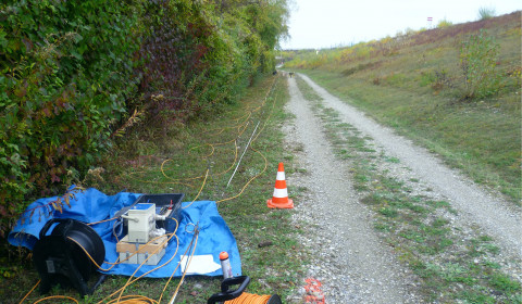
Geoelectric profile along the toe of the dam -
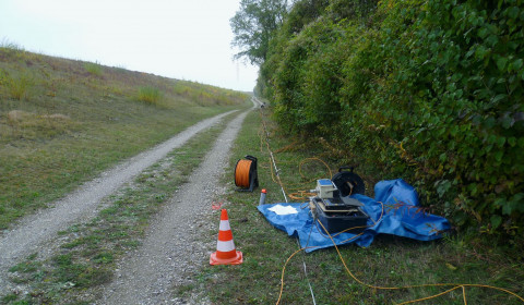
Geoelectric profile along the toe of the dam -
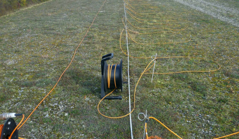
Geoelectric profile along the top of the dam